Region 06 · 4+ days
Aroostook & the North
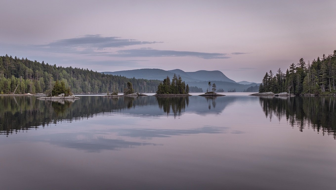
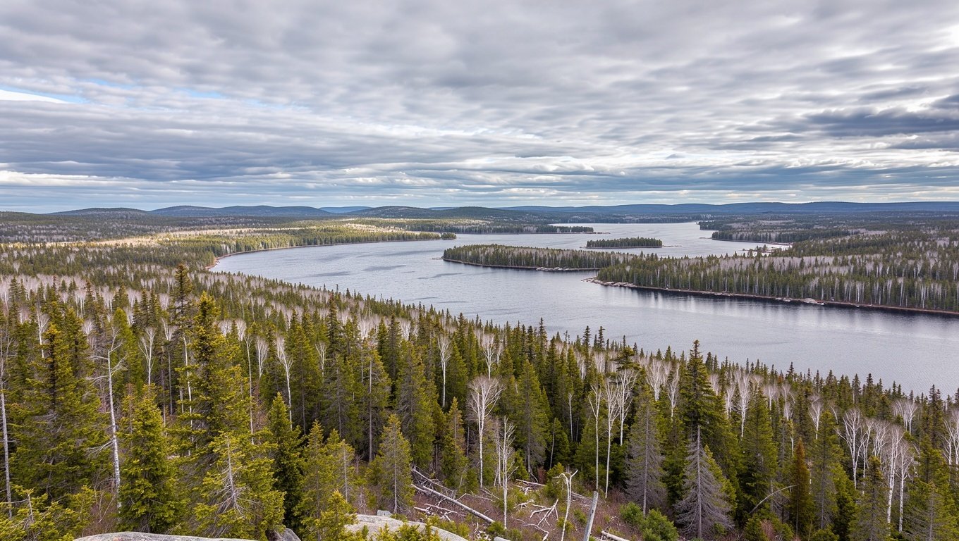
This is the part of Maine that tourists read about and rarely visit. Aroostook County — "The County" to anyone from Maine — is potato farmland and forest, larger than Connecticut and Rhode Island combined, and it holds the Allagash Wilderness Waterway, a 92-mile protected river corridor that is one of the great paddling trips in the northeast.
Katahdin, the state's highest peak at 5,269 feet, anchors the other end of the north in Baxter State Park. Baxter is deliberately, institutionally undeveloped: no paved roads, limited vehicle access, strict caps on daily entry, and no facilities to speak of. That is the entire point, and it requires planning.
Baxter State Park is not a casual stop
Vehicle access is capped daily and reservations for the camping season are allocated by lottery months in advance. Day-use entry is first-come and frequently full by early morning in foliage season. Check the park's current rules before you build an itinerary around it — and never attempt Katahdin's Knife Edge in wet or windy conditions.
Be realistic about distance. From Portland to Baxter's southern gate is roughly three and a half hours of driving, most of it on two-lane road. The reward is a landscape that feels genuinely remote in a way almost nowhere else on the eastern seaboard does.